Typhoon No. 30 extremely intense on October 21 evening; check updated information
A record of the 18:00 JST conditions in the JMA announcement issued at 18:45 on October 21. Not a current warning or confirmation of landfall.
 Illustration
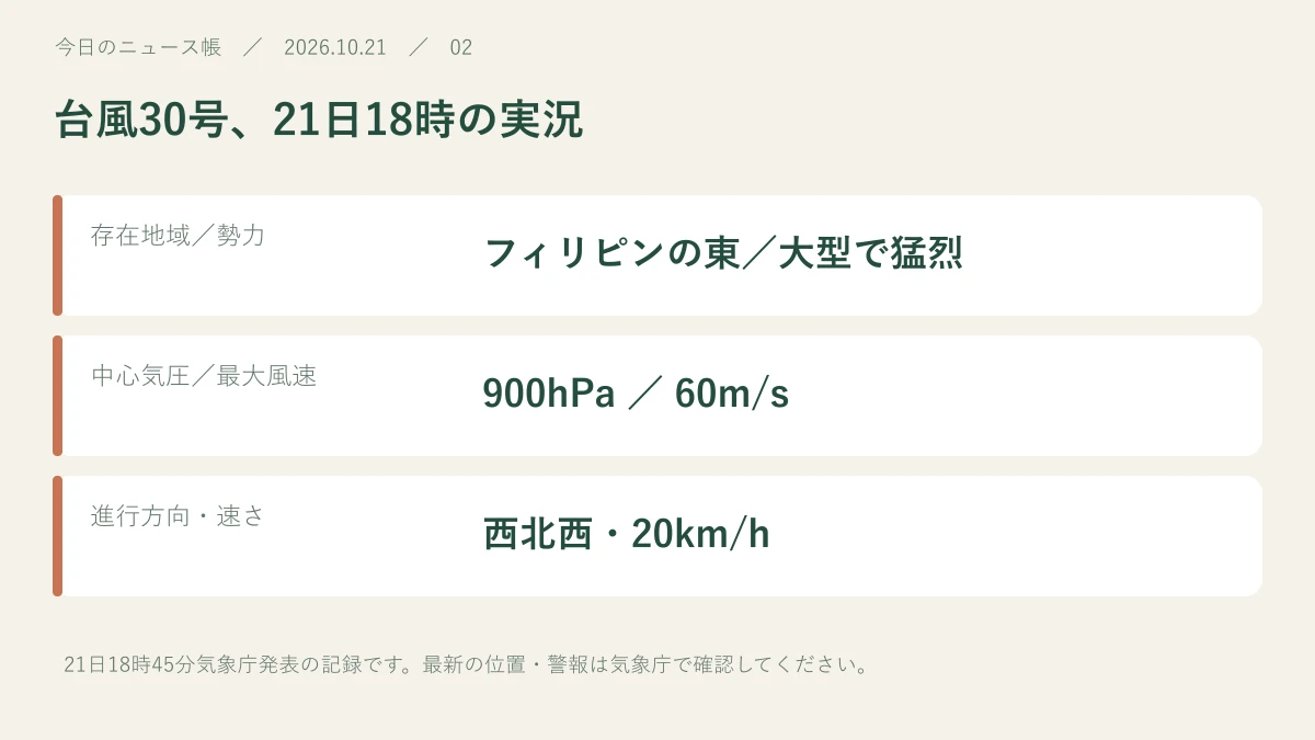
At 18:00 JST on October 21, Typhoon No. 30 was east of the Philippines, large and extremely intense. Its central pressure was 900 hPa and maximum sustained winds 60 m/s. Position and strength change, so current information is essential.
Read for 8 seconds to inform recommendations.Reading history & counting settings
A record of the 18:00 JST conditions in the JMA announcement issued at 18:45 on October 21. Not a current warning or confirmation of landfall.
A timed record of position and intensity
JMA information published by Bosai Mie said the storm was moving west-northwest at 20 km/h east of the Philippines at 18:00 on October 21. It was large and extremely intense, with 900 hPa central pressure and maximum winds of 60 m/s. These figures describe that specific time.
A forecast circle does not establish a landfall location
Evening reporting warned about later northward movement and possible approach to Japan. The track and timing of impacts can change. Inclusion in a forecast circle does not confirm landfall. Check local evacuation information, newer JMA updates and transport operators’ notices together.
Sources & further reading
Our own summary based on the public information below.
- 防災みえ.jp:21日18時45分気象庁発表・台風30号 ↗Source publication date: 2026-10-21
- TBS NEWS DIG:21日18時の実況と今後の進路予想 ↗Source publication date: 2026-10-21
- 気象庁:最新の台風情報 ↗
This is a record of information available at publication. Later reports may change the details. Check the source for current weather, safety and market information.